


8,8 km | 14,5 km-effort

Usuario


Aplicación GPS de excursión GRATIS
 SityTrail
IGN / Institutos geográficos
SityTrail World
El mundo es suyo
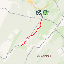
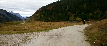
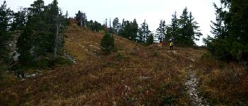
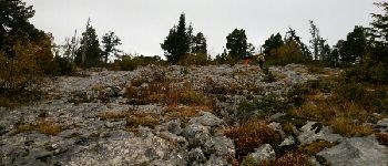
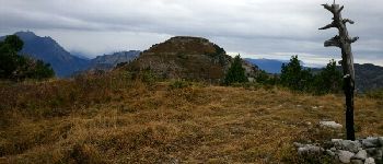
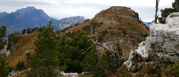
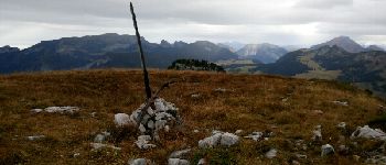
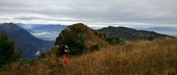
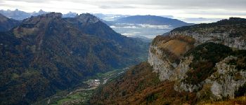
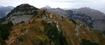
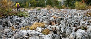
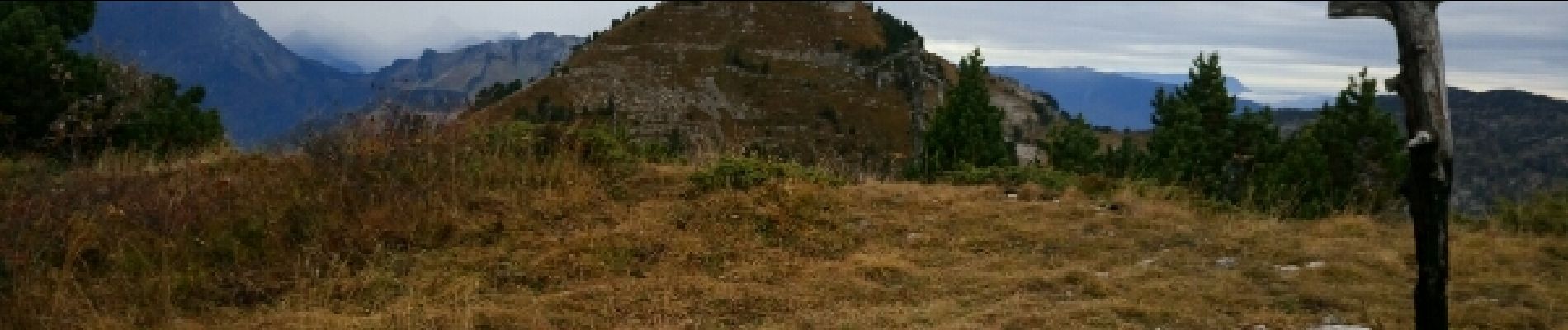
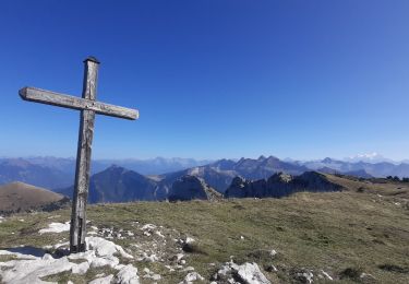
Ruta Senderismo de 8,8 km a descubrir en Auvergne-Rhône-Alpes, Alta Saboya, La Balme-de-Thuy. Esta ruta ha sido propuesta por sofracoan.
Départ du Parking avant notre Dame des neiges. Aller Retour jusqu'à la Tête de l'Arpettaz.


Senderismo

Senderismo

Senderismo
Senderismo
Senderismo
Senderismo
Senderismo
Senderismo
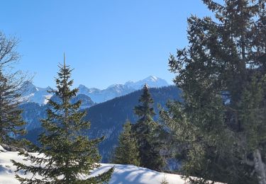
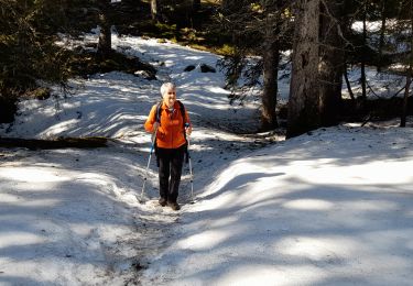
Raquetas de nieve